Indiana Map PowerPoint Template
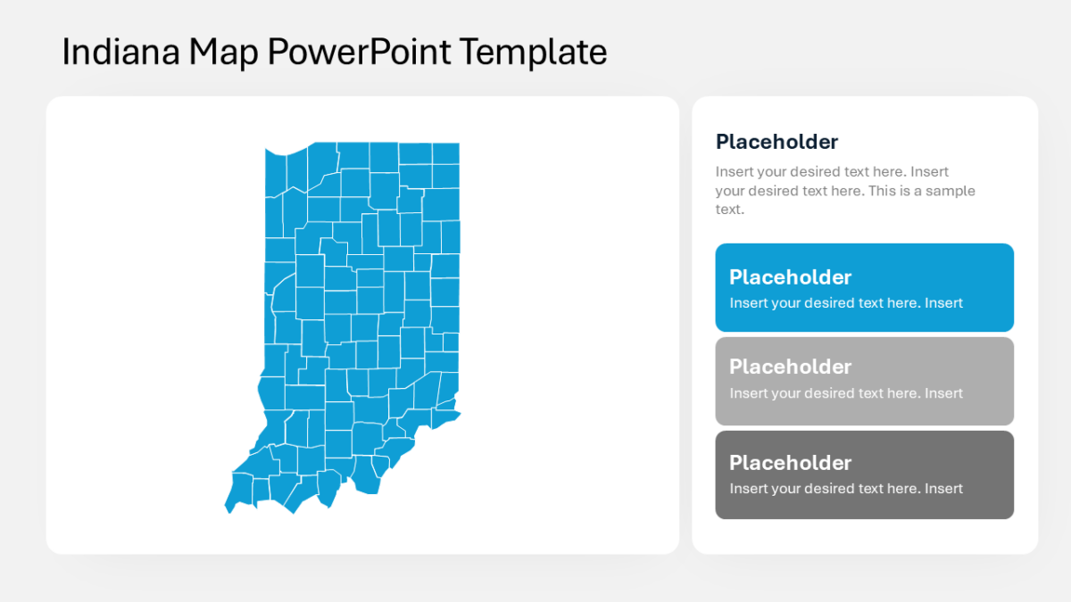
The Indiana Map PowerPoint Template puts performance, coverage or territory onto the United States, state by state.
Campaign work involves too many moving parts to explain sequentially. Showing the structure at once lets you talk about any part of it without losing the room.
What’s on the slide
- An outline map of the United States
- Per-state fill control for shading by value
- Legend area for your color scale
- Every state as an independently editable shape
- Pointer callouts for annotating specific states
Every element is a native PowerPoint shape, so colors, icons and copy are all yours to change. Sized 16:9, and it opens cleanly in Google Slides and Keynote.
Growth teams reach for this most, though brand strategists and campaign leads get the same value out of it. Place it in the data section and move the table it replaces to an appendix. Pair it with anything from the us maps templates to keep a deck consistent.