Kentucky Map PowerPoint Template
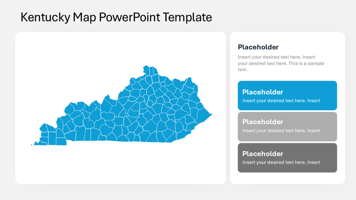
The Kentucky Map PowerPoint Template turns a spreadsheet of state-level data into a slide people actually study.
Campaign work involves too many moving parts to explain sequentially. Showing the structure at once lets you talk about any part of it without losing the room.
What’s on the slide
- An outline map of the United States
- Legend area for your color scale
- Per-state fill control for shading by value
- Pointer callouts for annotating specific states
- Every state as an independently editable shape
Nothing here is a flattened image. Shapes, fills, icons and text are individually editable, at 16:9, and the file behaves in Google Slides and Keynote too.
It lands with growth teams first, then brand strategists, and marketing managers run into the same problem often enough to want it. Use it wherever regional variation is part of the story. Pair it with anything from the us maps templates to keep a deck consistent.