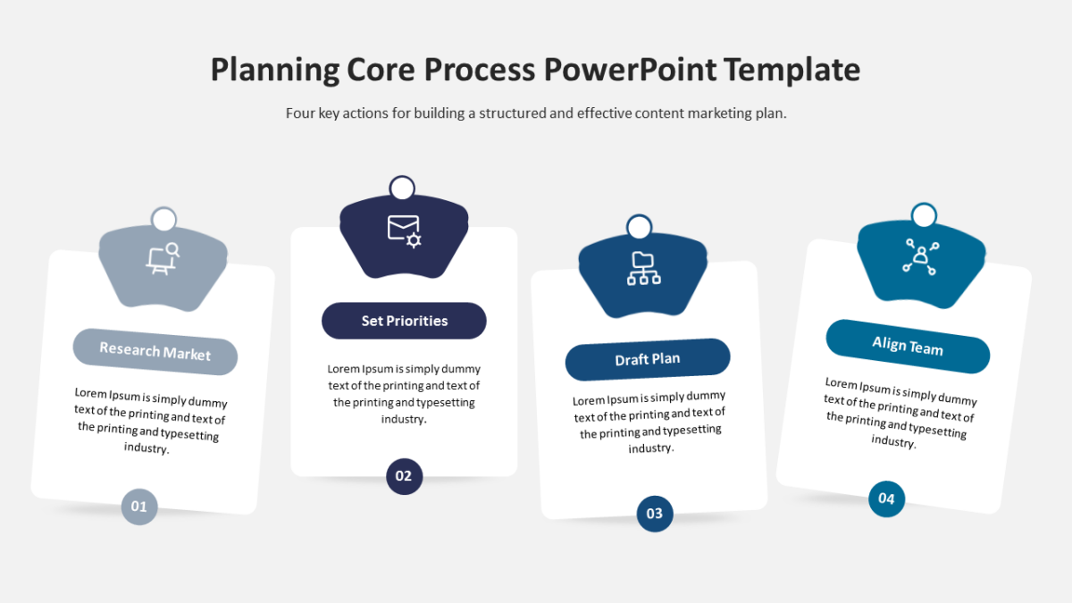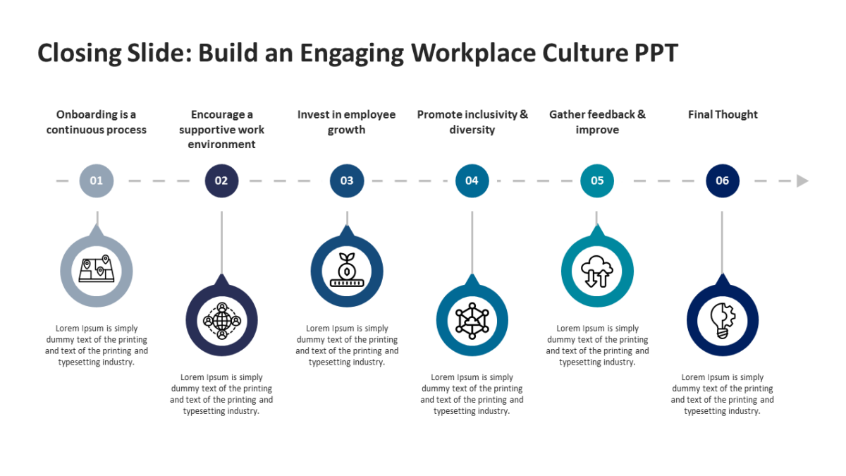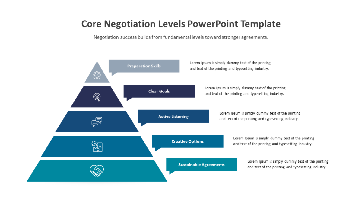
Pennsylvania Map PowerPoint Template
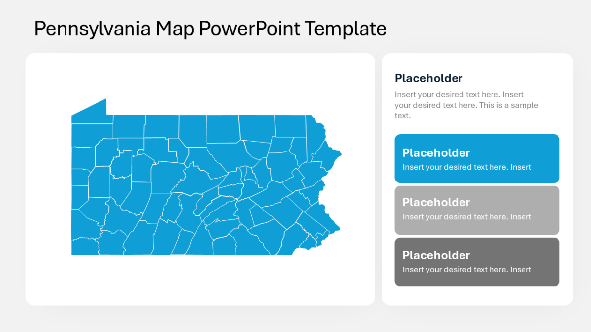
Geography is the fastest way to read regional variation, and the Pennsylvania Map PowerPoint Template makes it available.
Marketing decks live or die on clarity, because the audience is usually deciding whether to fund something they cannot yet measure. A clean visual buys the credibility that a spreadsheet does not.
What’s on the slide
- An outline map of the United States
- Per-state fill control for shading by value
- Pointer callouts for annotating specific states
- Every state as an independently editable shape
Nothing here is a flattened image. Shapes, fills, icons and text are individually editable, at 16:9, and the file behaves in Google Slides and Keynote too.
Campaign leads reach for this most, though brand strategists and growth teams get the same value out of it. Place it in the data section and move the table it replaces to an appendix. The wider set of us maps templates picks up where this one leaves off.