North Carolina Map PowerPoint Template
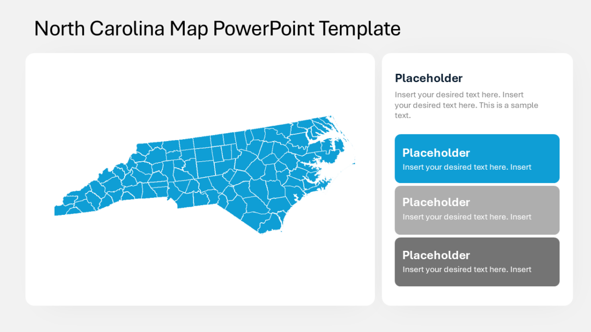
Geography is the fastest way to read regional variation, and the North Carolina Map PowerPoint Template makes it available.
Campaign work involves too many moving parts to explain sequentially. Showing the structure at once lets you talk about any part of it without losing the room.
What’s on the slide
- An outline map of the United States
- Per-state fill control for shading by value
- Every state as an independently editable shape
- Pointer callouts for annotating specific states
- Legend area for your color scale
Nothing here is a flattened image. Shapes, fills, icons and text are individually editable, at 16:9, and the file behaves in Google Slides and Keynote too.
Built with growth teams in mind, but brand strategists and campaign leads put it to work just as often. It fits any market, territory or coverage section. If the count is wrong for your content, the other us maps templates cover the same ground.